Hadrian’s Wall was the defensive wall built by the Romans on the northern border of their empire during the reign of Emperor Hadrian (117 to 138A.D.) and is officially recognized as a World Heritage Site. The wall, primarily made of hand cut stone blocks, was begun in A.D. 122, measured up to 20 feet in height and was flanked on either side with mounds and ditches (known today as the Vallum) with a road along the inside of the wall. Sadly, much of the original Wall has been lost for the construction of roads and buildings during the 18th century, tragic really, as it is believed much of the wall survived largely intact and as a ‘major feature’ until this point. What could have been…
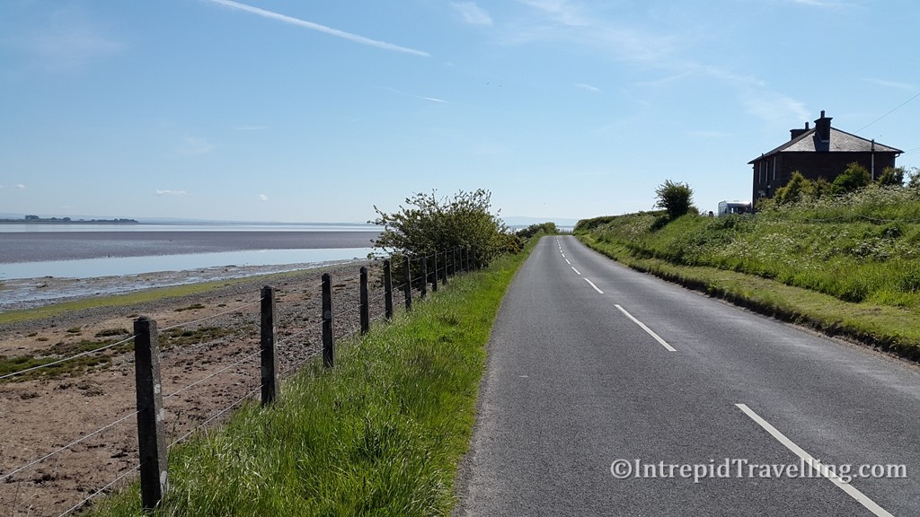
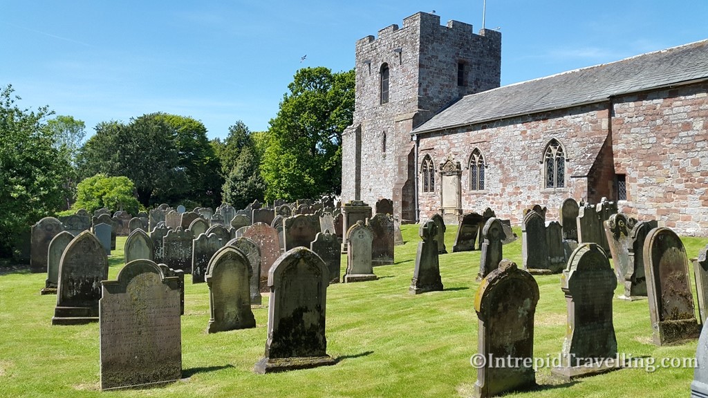
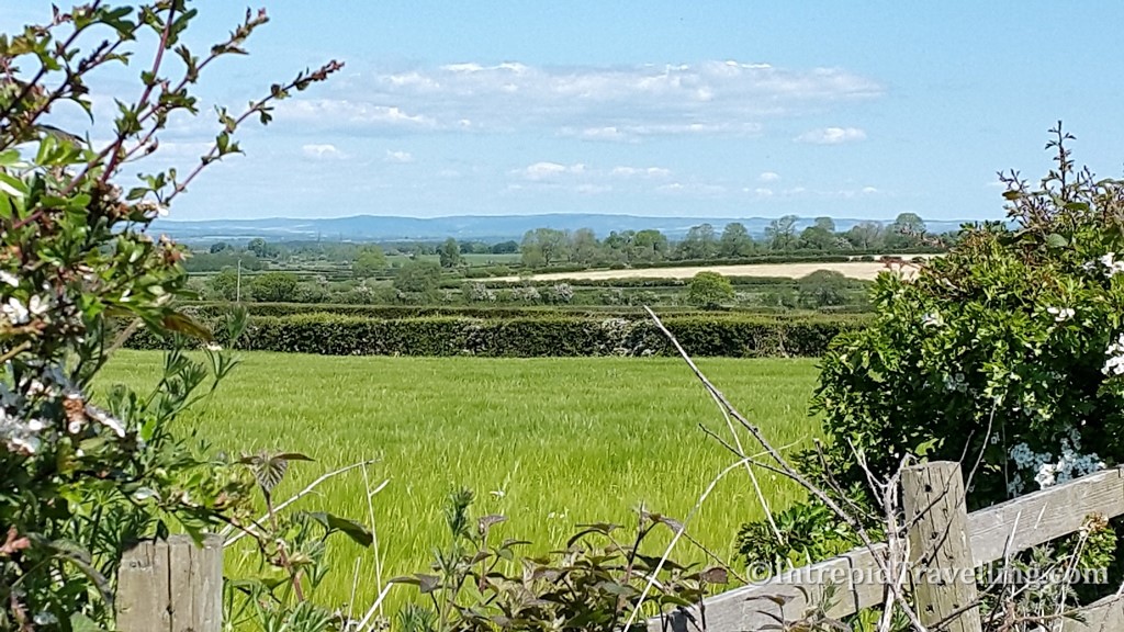
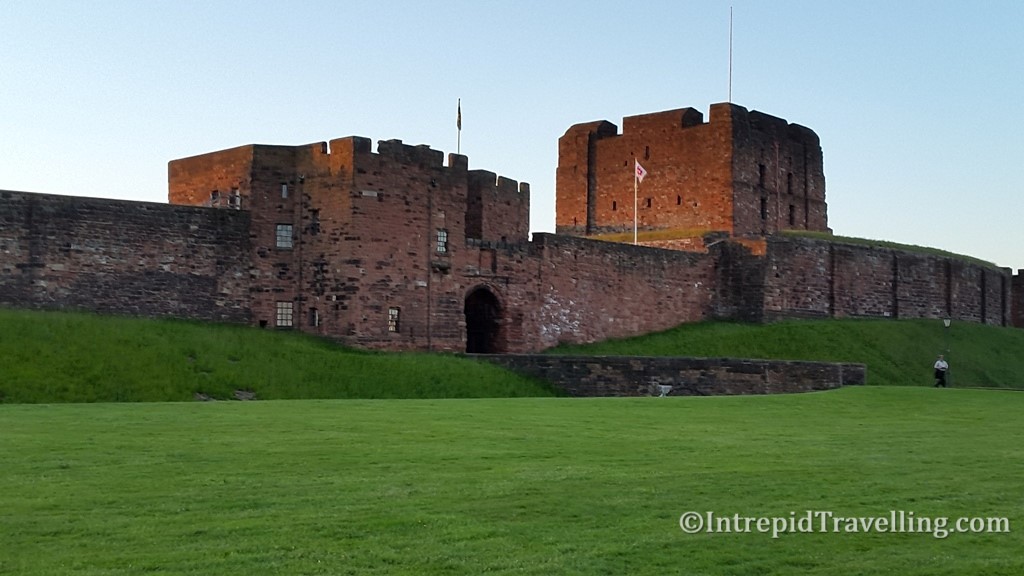
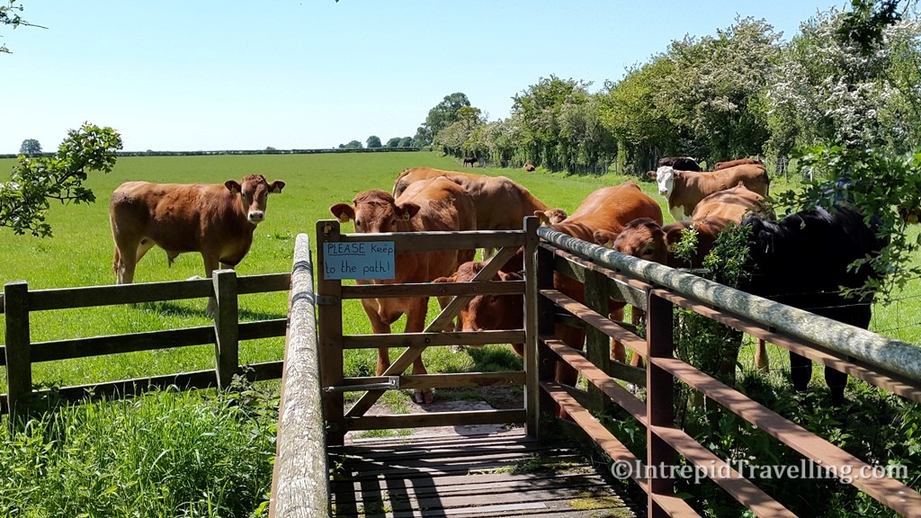
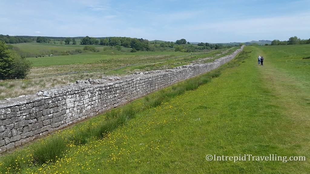
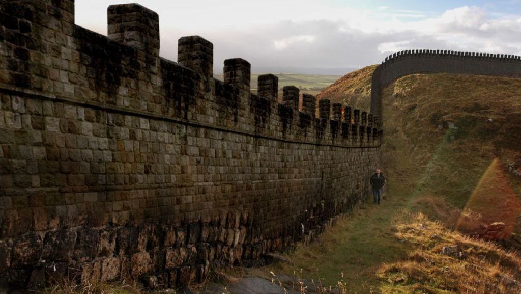
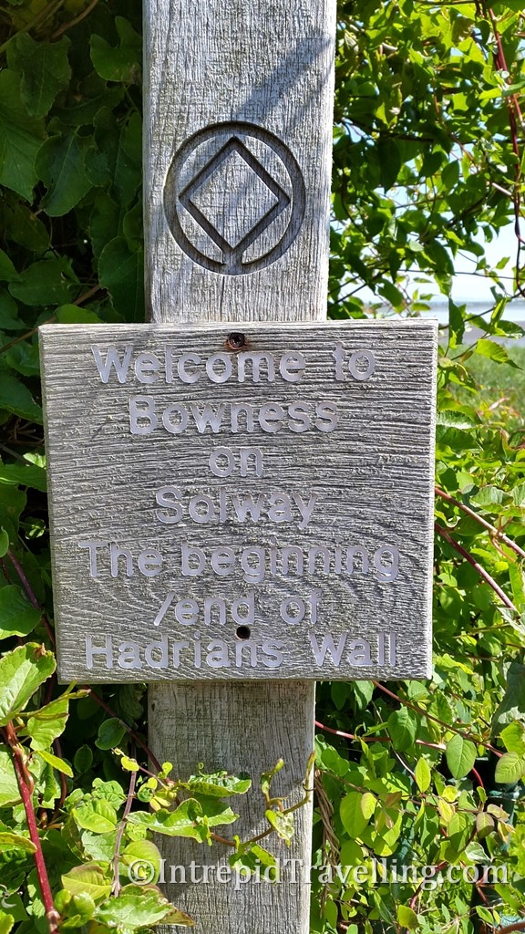
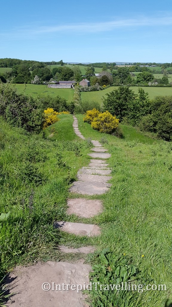
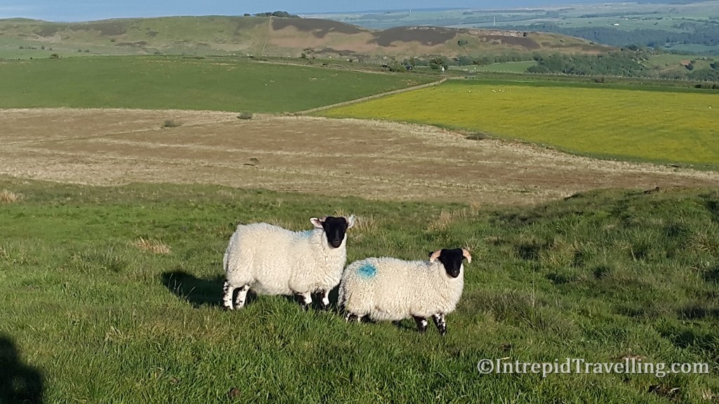
The path that runs alongside the remains of the Wall (for the vast majority of the journey) from Bowness-on-Solway, on the west coast, to the Newcastle suburb of Wallsend, on the east coast of England, is 135km in length and can be easily navigated in either direction. Hikers will be rewarded by being about to pass through a diverse range of landscapes as the path snakes through agricultural fields, along ridges and crags, across the open ‘big sky’ moorlands and the city streets of Newcastle.
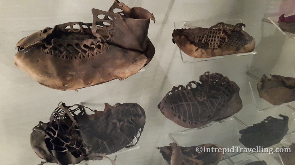
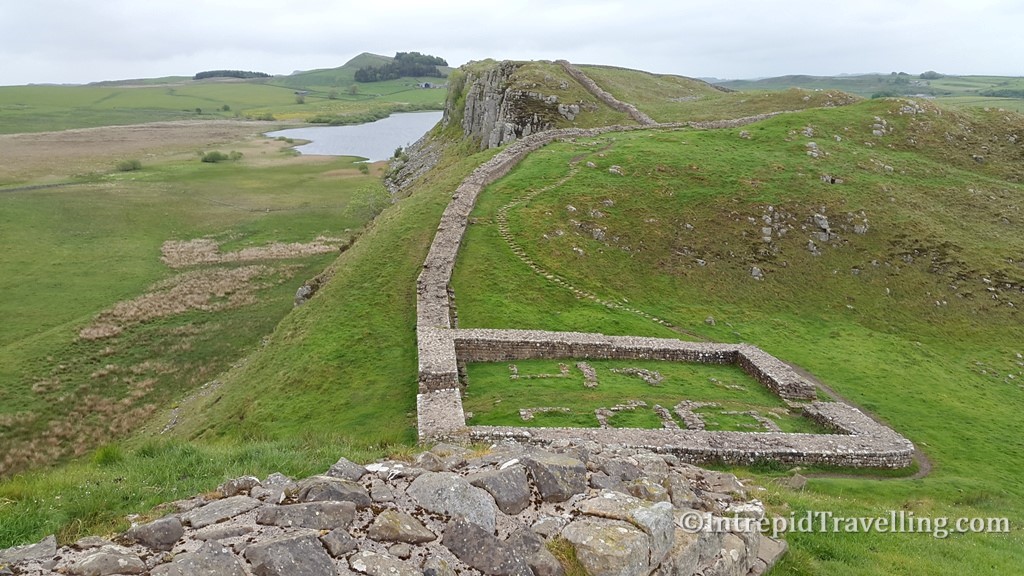
Hadrian’s Wall wasn’t designed to be a complete barrier, but would have gates and forts built within it to facilitate and control trade and the flow of peoples across the frontier. You can explore the footprints of many of these observation towers along the route and the excavated remains of the forts by the visiting any of the many Roman Forts such as Birdoswald, Chesters, Housesteads, Segedunum and Vindolanda. No Hadrian Wall hikers experience is complete without a visit to one, if not all, of these sites.
Hiking the length of Hadrian’s Wall is relatively easy for a person of average fitness, as the highest point on the path is only 345m and is more or less flat (except for a few short sections traversing the ridgeline near Steel Rigg). The section between Walton and Chollerford is the highest and wildest section, but also the most rewarding as the Wall is most visible, and includes the Birdoswald, Chesters, Housesteads and Vindolanda Roman Forts. Most of the Wall runs through remote countryside where path users are granted a right-of-way access, but there are sections that pass through the cities and suburbs. The path is well signposted but despite passing near villages and farms, there are not many places to buy food and drink, especially in the middle sections, so take your own snacks each day.

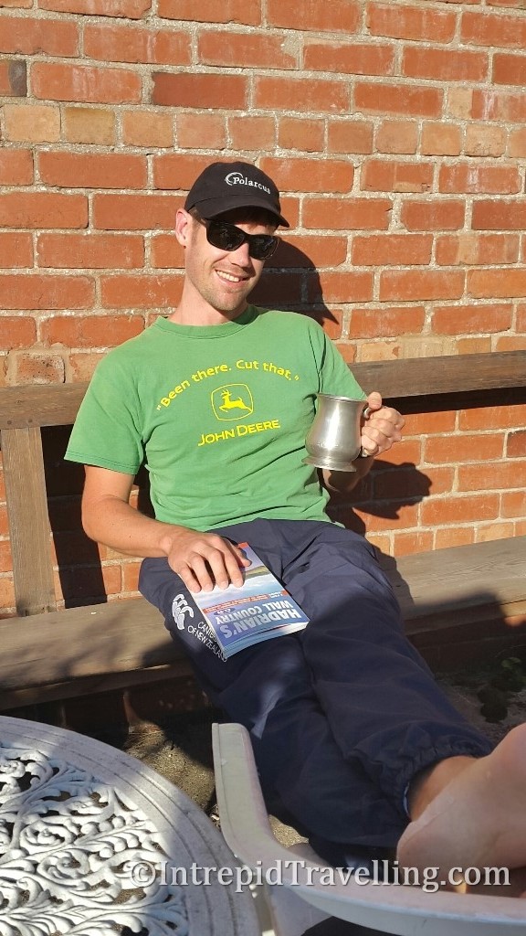

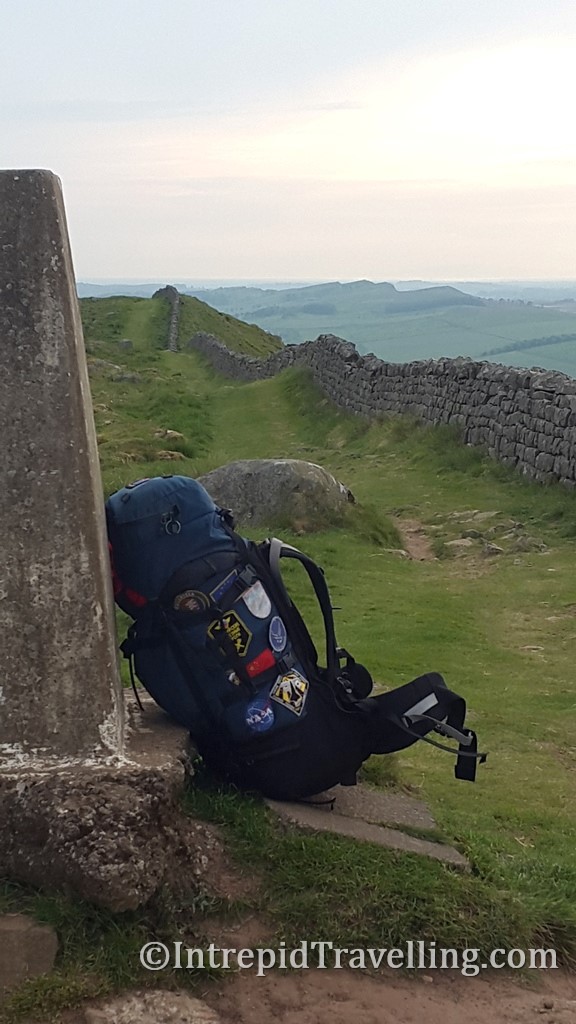
The following is my suggested week long itinerary that I completed from west to east (to keep the prevailing wind at my back). I completed the 135 km hike in six stages, with a day taken in the middle to explore the Vindolanda Fort.
- Bowness-on-Solway to Carlisle– 24 km (14.75 miles) long.
There is nothing of the Wall to be seen during this first stage as the Wall here was made of turf, so has long since disappeared. The path follows either the Eden River or crosses pleasant agricultural fields. There is a bus that departs Carlisle and will drop you in Bowness-on-Solway where you can begin your journey. I stayed at the Carlisle City Hostel which was perfectly located and great value for the intrepid traveller.
- Carlisle to Walton – 18 km (11 miles) long.
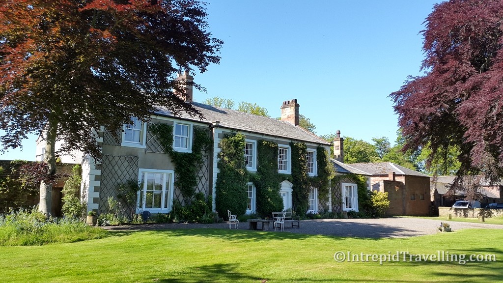
Departing Carlisle through a pleasant park you initially follow the Eden River before slowly gaining altitude as you head inland across fertile agricultural land. I stayed at the Sandysike House which is a great value hostel and B&B along the path near Walton.
- Walton to Steel Rigg (Once Brewed) - 26 km (16.25 miles) long.
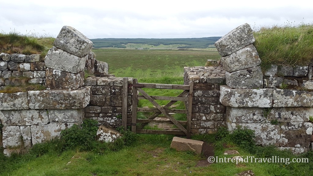
The route continues across open farmland with the Wall increasingly visible. Many of Hadrian’s Walls best attractions are along this section;
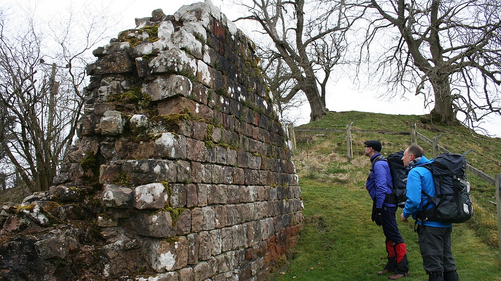
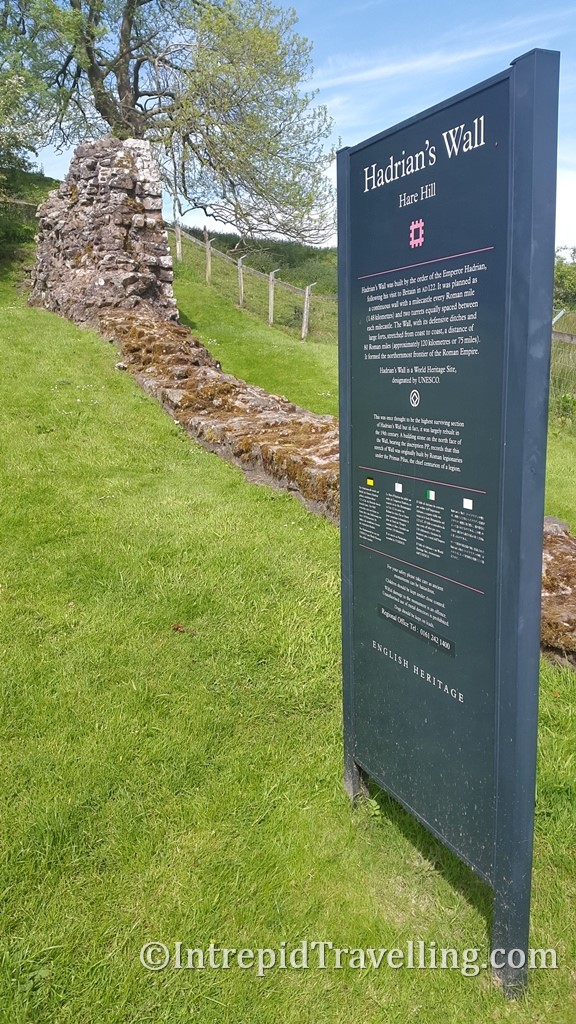
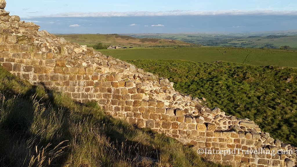
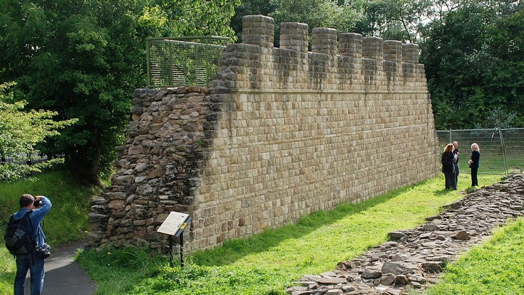
- The tallest remaining section of Hadrian’s Wall at Milecastle 53 (Hare hill)
- Lanercost Priory which was largely constructed out of the Wall’s stone
- Birdoswald Roman Fort
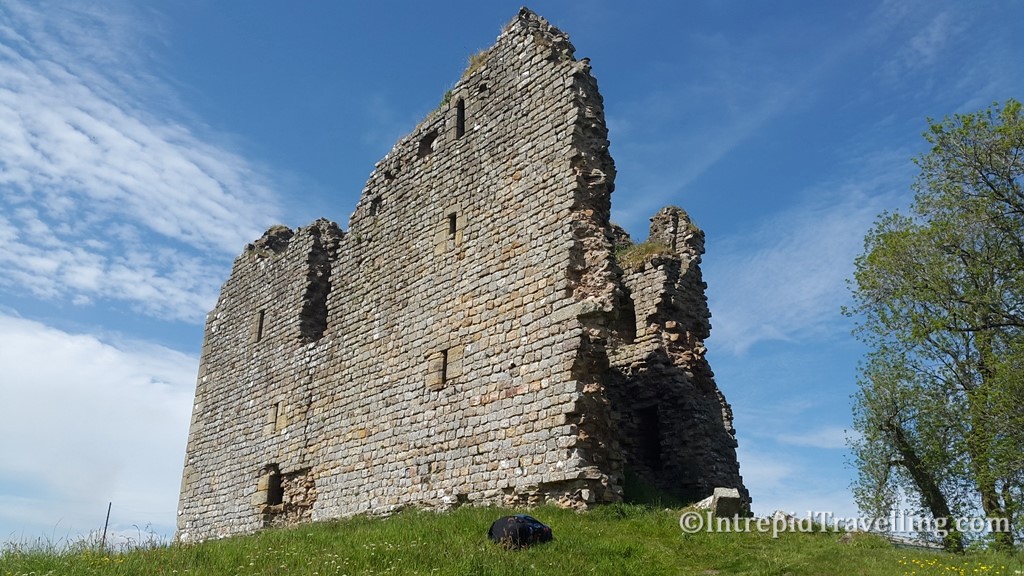
- Thirlwall Castle ruins
- Roman Army Museum
- Spectacular views from the ridgeline of the Crags as you approach Steel Rigg
I stayed at the YHA at Once Brewed while at Steel Rigg which is perfectly placed to visit the Vindolanda Roman Fort and is affordable for travellers. The AD122 Hadrian’s Wall bus which operates in this sparsely populated area runs a regular shuttle service between many of the sites and towns and may be of some use for the intrepid traveller to get around.
- Steel Rigg to Chollerford - 19 km (12 miles) long.
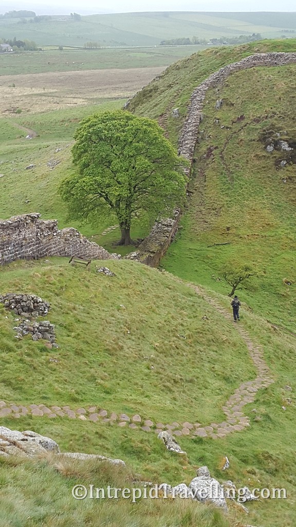
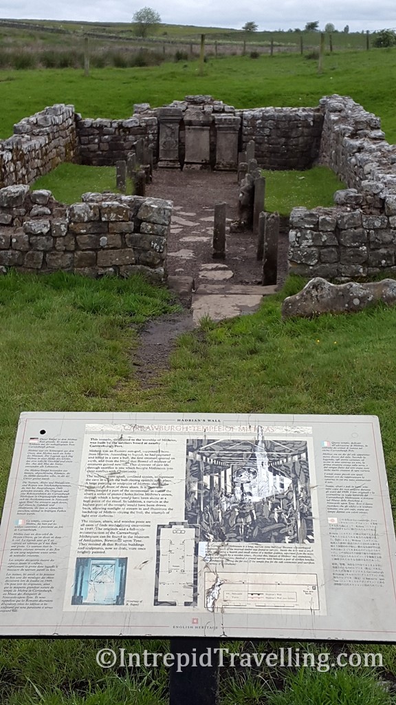
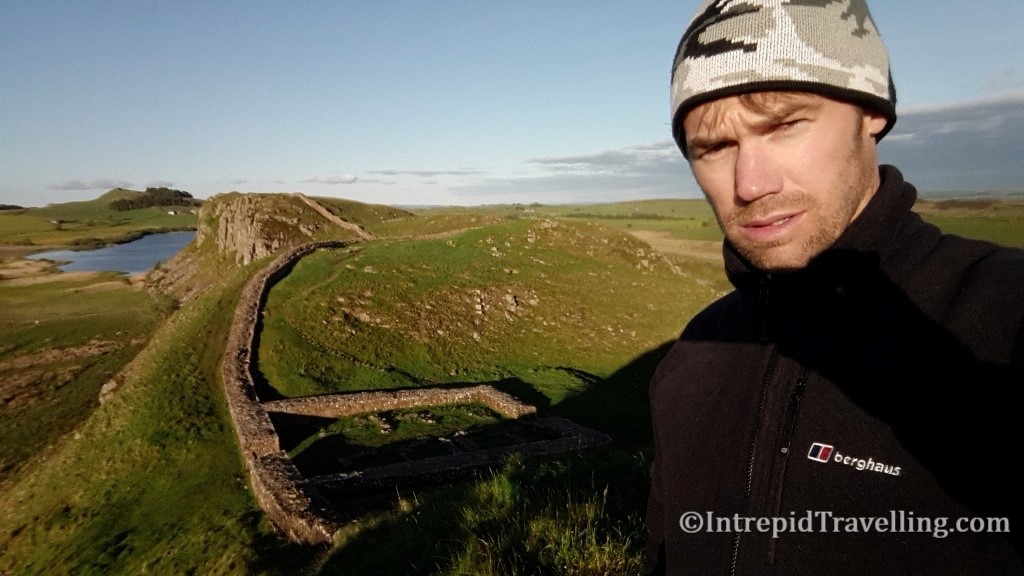
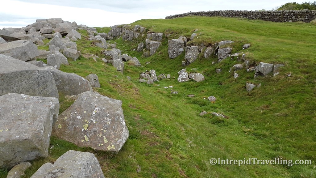
The Wall is visible and parts of it run along the edge of crags, giving superb views over the open countryside. The path passes the iconic Sycamore Gap before reaching the Roman fort at Vercovicium (Housesteads), as you head further east following the B6318 across the Moorlands to the Temple of Mithras which is worth stopping and visiting. Just to the east of the Temple you’ll come across what appears to be a quarry where the Romans attempted to excavate the Vallum ditch through hard limestone before abandoning it. Increasingly you descend back into farmland as you pass Milecastle 29, eventually arriving at the Roman fort of Chesters which is at the end of this section near Chollerford.
- Chollerford to Heddon-on-the-Wall– 25 km (15.5 miles) long.
This section is almost entirely through open countryside. The Wall is occasionally visible and the Vallum (earthwork) is frequently visible on the south side.
- Heddon-on-the-Wall to Wallsend– 24 km (15 miles) long.
Starting in open countryside, there is occasional sections of the Wall visible, but most of this section runs through urban areas, including through the centre of Newcastle upon Tyne, where the path finally ends by the Swan Hunter shipyard. Congratulations if you managed to cover the 135km! If you have arrived in time or have time the next day, be sure to visit the Roman fort of Segedunum.
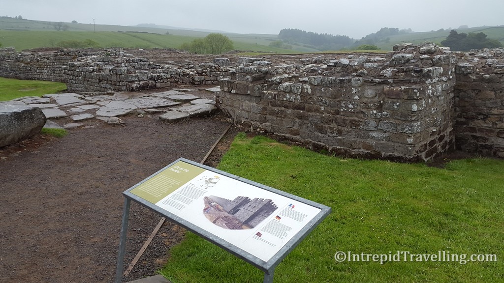
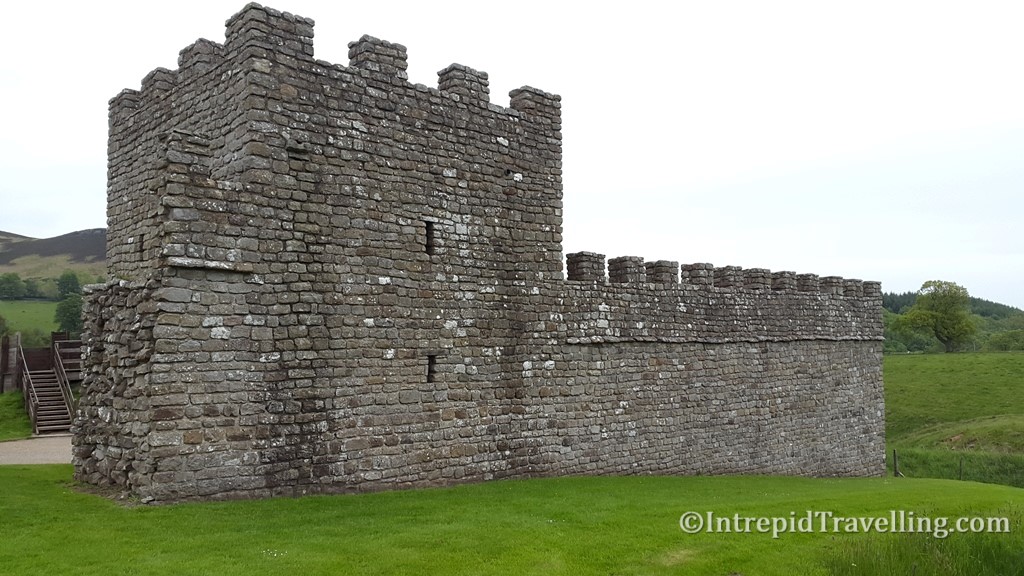
For many, the objective is to walk the length of Hadrian’s Wall from Bowness-on-Solway to Wallsend and if you’re pushed for time, and are fit, the 135km (84miles) can be completed in as little as 5 days. However, that won’t leave you a lot of time to explore any of the historical sites along the way. It is preferred by the various historical societies that hikers attempt the hike during the summer months, as the vast majority of the path is unpaved grass; hence damage along the trail is minimized when the ground has dried.
Recommended Reads


