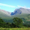
Situated at the western edge of the Grampian Mountains in the Scottish Highlands, Ben Nevis (known locally as Ben) is the highest mountain in the British Isles (1,346m (4,414ft)). It is the remnants of an ancient volcano, evident from the granite and dark basaltic lavas visible near the summit on the extensive screen slopes. The cliffs of the north face are among the highest in Scotland, providing the principal location for rock climbs, of all difficulties, and ice climbing for climbers and mountaineers.
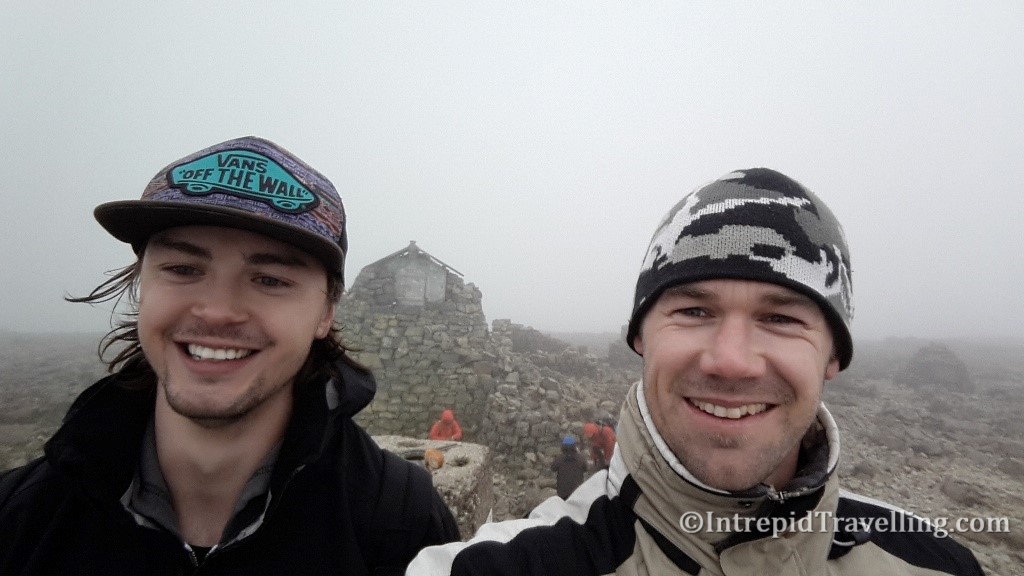
As a result of its height, and location of 56 degrees N, Ben Nevis has a number of distinct climate zones ranging from maritime to alpine and near the summit Polar. As a result of these factors, cloudy cold weather conditions are common and pose a danger to ill-equipped hikers. Weather data shows that fog is present on the summit for almost 80% of the time between November and January, and 55% of the time in May and June. So even during summer there is a better than 50% chance you’ll encounter cloud during an ascent, so it is best to check the local weather conditions before setting off.
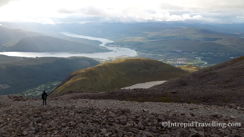
The closest town to Ben Nevis is Fort William which lies on the picturesque Loch Eli and Loch Linnhe. You can either drive to Fort William along the modern roads from the south or the north, or take one of the most scenic train rides in Britain from Scotland’s Glasgow. You can stay in Fort William and begin your hike from there; heading up Achintee Road along the River Nevis. I chose to stay at the Glen Nevis Youth Hostel which is literally at the base of Ben Nevis near the River Nevis and the trail. If driving, make your way to the Glen Nevis Visitor Center where there is ample parking.
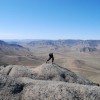
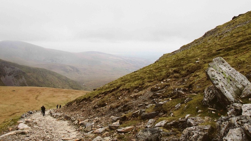
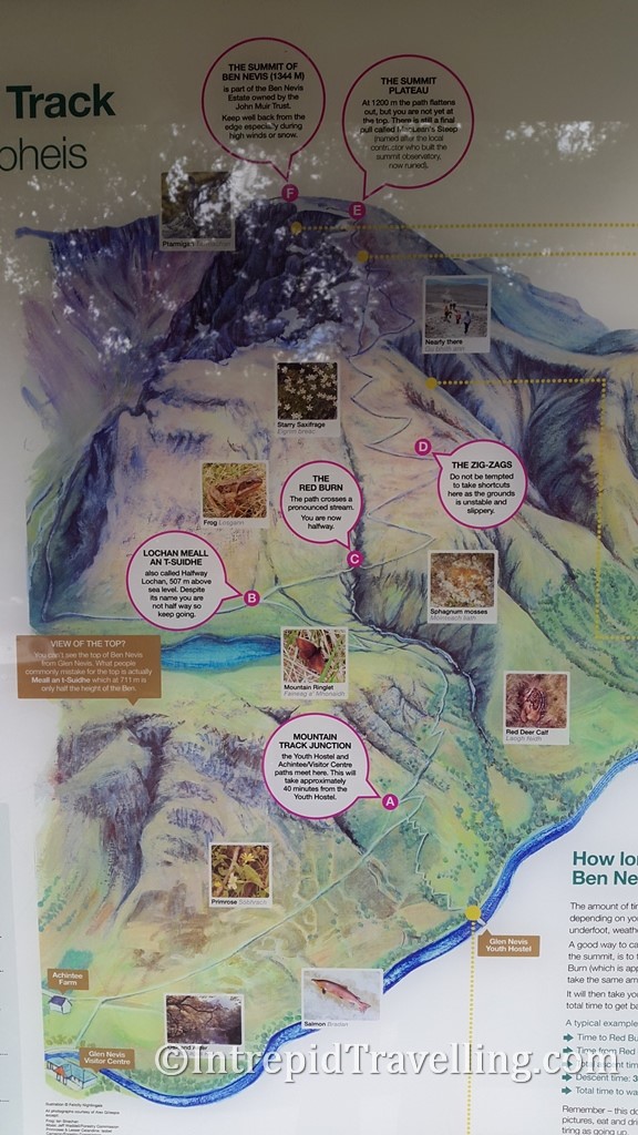
Partly on account of it being the highest mountain in Britain, it is a popular destination, attracting in excess of an estimated 100,000 ascents a year. The Ben Nevis Mountain Track (otherwise known as the ‘Tourist’ or ‘Pony’ Track) is a straightforward, if not rather long and arduous even for fit hikers/walkers) route to the summit. Ascending 1,340m over 8km (and descending the same amount for a total of 16km) the round trip should take anywhere between 3 and 8 hours depending on your fitness and the time spent resting enroute and at the summit.
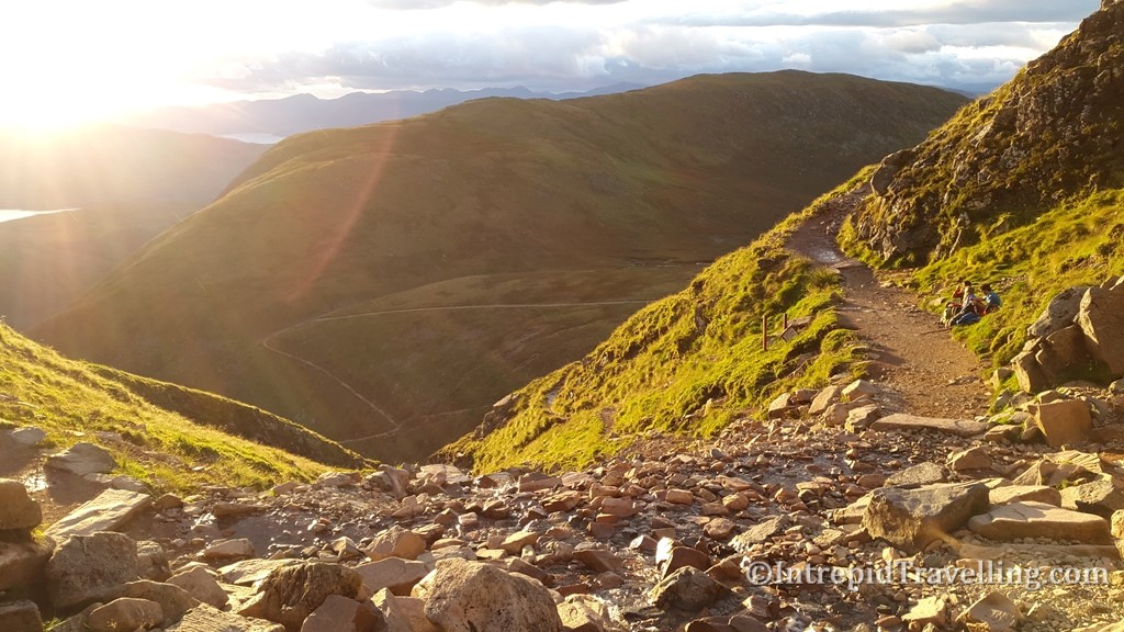
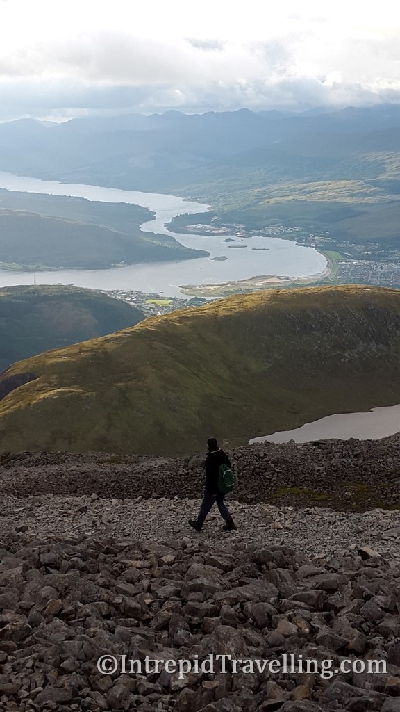
The track is well maintained, with countless steps but beware it is steep in sections, but there are plenty of opportunities to rest and take in the magnificent Highland scenery. Above the Alpine zone, the trail becomes rougher and very stony; outside of the summer months it is often snow covered so without a high degree of navigation skills you may risk wandering in the wrong direction towards any of the dangerous cliffs which have claimed life’s in the past.
As you approach the summit the terrain levels out and becomes a large rock and boulder strewn plateau, making the track more difficult to discern so take care through this section to stick to the track; especially if the summit is shrouded in cloud. A large cairn crowns the summit of 1,346m where you’ll hopefully be rewarded with magnificent 360-degree views that extend all the way to Northern Ireland on a good day. A more detailed route description is available here.
Points to note – it is recommended that you bring plenty of warm clothing such as a fleece, quality warm socks, even thermals and appropriate hiking boots (the type with ankle support ideally due to the rough trail near the summit). Running shoes aren’t very appropriate as the hard granite/basalt rock of the upper section will be very hard on the soft rubber. Don’t underestimate even on nice mornings in Fort William, that the weather in the Highlands especially near the coast, can cool and change rapidly with average temperatures close to zero at the summit. Also there are no toilets along the Ben Nevis trail so prepare well before you leave.